 Noticias en español
The agreement seeks to consolidate the exchange of geospatial data and the implementation of satellite services for the sustainable development of the region.
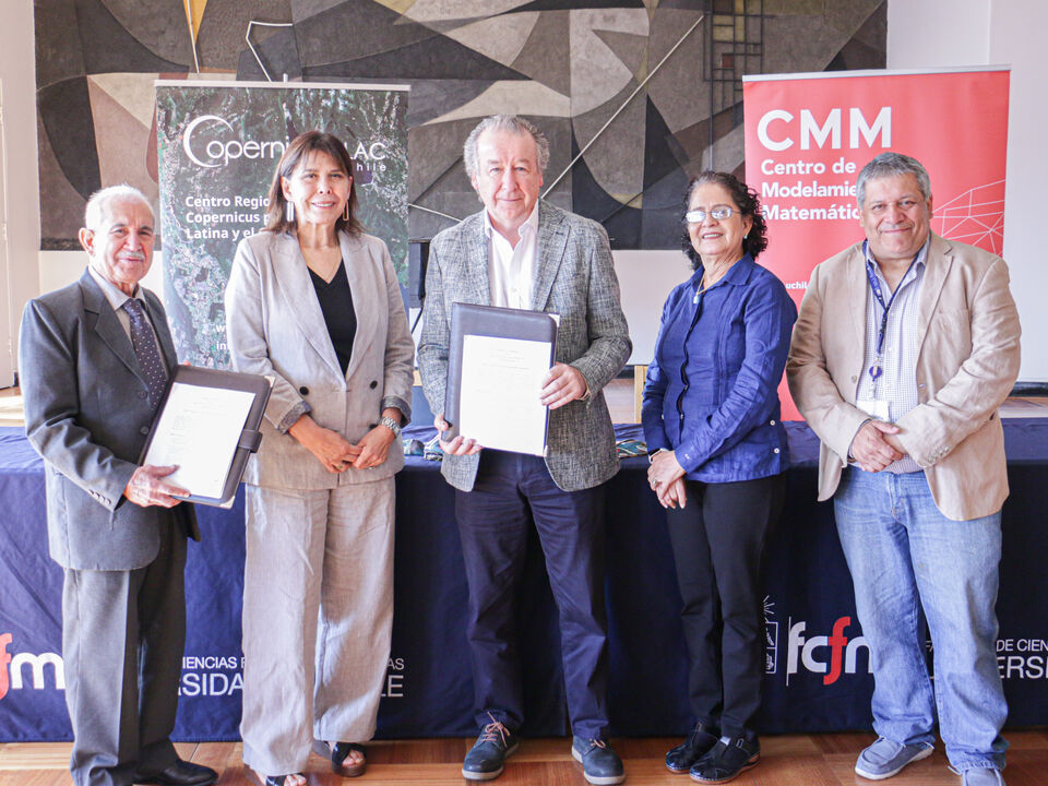
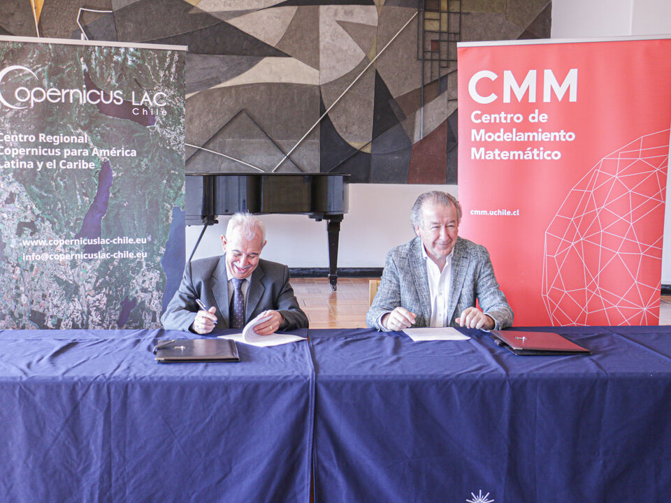
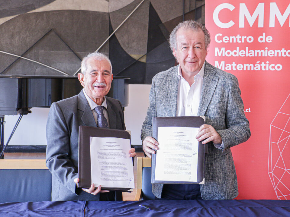
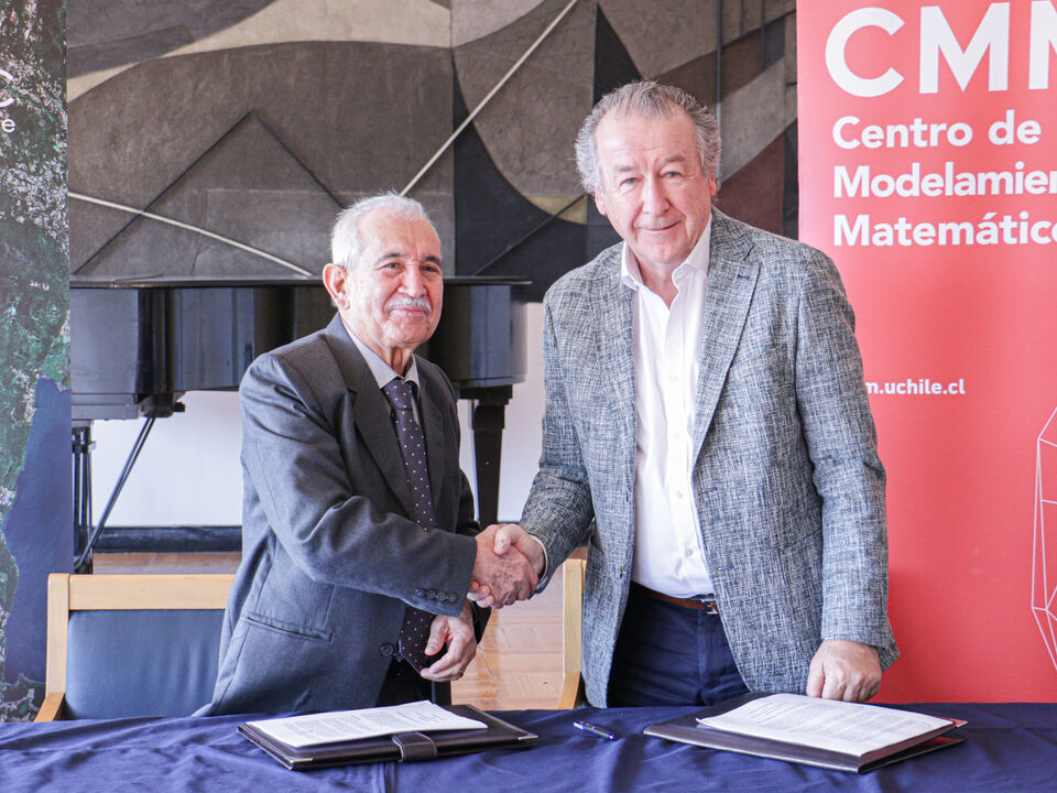
The Faculty of Physical and Mathematical Sciences of the University of Chile signed a collaboration agreement with the Dominican Republic’s National Geographic Institute (IGN-JJHM). This agreement is part of the initiatives of the Copernicus Regional Centre for Latin America and the Caribbean (CopernicusLAC Chile) —a project dedicated to storing, processing, and distributing satellite data from the Copernicus programme -the Earth Observation component of the European Union’s Space Programme — as well as developing value-added services of interest to Latin America and the Caribbean.
The regional services developed by CopernicusLAC Chile focus on key areas such as land use and land cover, urban atlases, and ocean and coastal monitoring. Additionally, it develops methodologies to facilitate access to in-situ data, promoting its collection and publication through agreements with countries and institutions. The strategy includes creating common protocols, policies, and technical standards to optimize the use of geospatial information.
The recently signed agreement establishes a collaboration between the two institutions to integrate terrestrial, maritime, and aerial observation technologies. The IGN-JJHM will provide technical data, control points, and methodologies for the elaboration of land use and land cover maps, as well as urban maps. In this context, the Center for Mathematical Modeling (CMM) of the University of Chile, which leads the CopernicusLAC Chile project with funding from the European Union, will generate updated maps for public access and share technological capabilities. Both entities will work on defining technical standards to ensure data quality and availability.
This agreement marks a significant step towards scientific innovation and regional integration, addressing key challenges such as territorial planning, environmental protection, and coastal monitoring. The results will be widely shared to strengthen cooperation and expertise across Latin America and the Caribbean.
The regional impact of this Agreement
This collaboration promotes scientific innovation and regional integration in areas such as spatial planning, environmental protection, and security. The results of this initiative will be widely disseminated to enhance cooperation and address the region’s challenges.
The Dean of the Faculty of Physical and Mathematical Sciences of the University of Chile, Francisco Martínez Concha, stated: “We are pleased and enthusiastic about this project. Today, we have had the opportunity to sign one of the first agreements with the Geographic Institute of the Dominican Republic, reflecting the progress and enthusiasm in the countries to develop joint research.”


Cenia Correa, Director of Geography at IGN-JJHM, commented: “For us, this agreement represents a breakthrough, as it will allow us to take full advantage of the Sentinel images of the Copernicus project and incorporate artificial intelligence in managing coastal and urban data. It will also foster the exchange of knowledge between IGN and CMM technicians, strengthening collaboration with other key institutions in our country, such as the Ministry of Environment.”
Bolívar Troncoso, Director of IGN-JJHM, added: “This project is a great opportunity for our Geographic Institute to advance its capabilities and for our young professionals to apply modern tools and generate concrete results, which is the most important aspect.”
Florencio Utreras, Director of CopernicusLAC Chile, emphasized the importance of access to field data provided by the Dominican Republic: “These data are crucial for developing services, improving the artificial intelligence methodologies used, and validating the accuracy of the results.”
This alliance reinforces the commitment of both institutions to sustainable development, positioning Latin America and the Caribbean as a reference in science, technology, and international cooperation.
About CopernicusLAC Chile
The Copernicus Regional Centre for Latin America and the Caribbean (CopernicusLAC Chile) is a project funded by the European Union and the University of Chile and implemented by the Center for Mathematical Modeling (CMM).
This project provides Copernicus data storage, processing, and distribution services for the region, as well as developing monitoring services in the areas of land use and land cover, urban areas and oceans and coasts, including the coordination of access to in situ data, i.e. data from land-based meteorological stations, ocean buoys and air quality monitoring networks, among others.
About the Center for Mathematical Modeling
The CMM is today the most active scientific research institution in mathematical modeling in Latin America. It is a center of excellence of the National Agency for Research and Development (ANID) of Chile, integrated by eight partner universities and located at the Faculty of Physical and Mathematical Sciences of the University of Chile. It is also the International Research Laboratory (IRL) #2807 of the French National Center for Scientific Research (CNRS).
Its mission is to create mathematics in response to problems from other sciences, industry and public policy. It seeks to develop science with the highest standards, excellence and rigor in areas such as data science, climate and biodiversity, education, resource management, digital mining and digital health.
By Verónica Lecaros, CopernicusLAC Chile
Posted on Dec 17, 2024 in News