
Using satellite technology, artificial intelligence, and fieldwork, the Center for Mathematical Modeling (CMM) of the Faculty of Physical and Mathematical Sciences at the University of Chile, together with the German cooperation agency GIZ, developed a pioneering system to conserve wetlands and peatlands in Magallanes, which is key to sustainable planning for the development of green hydrogen.
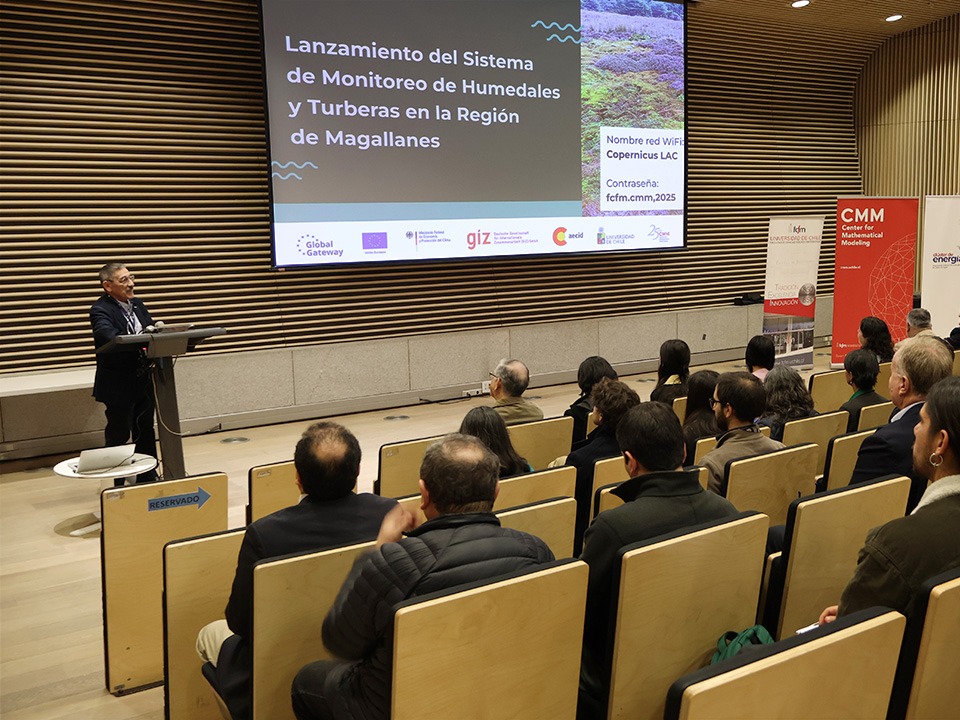
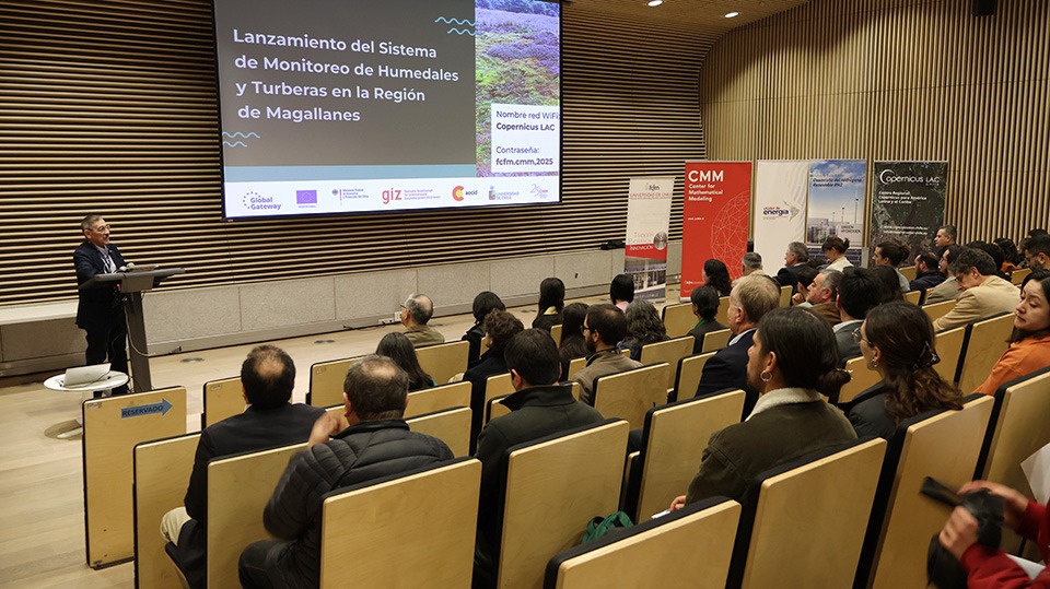
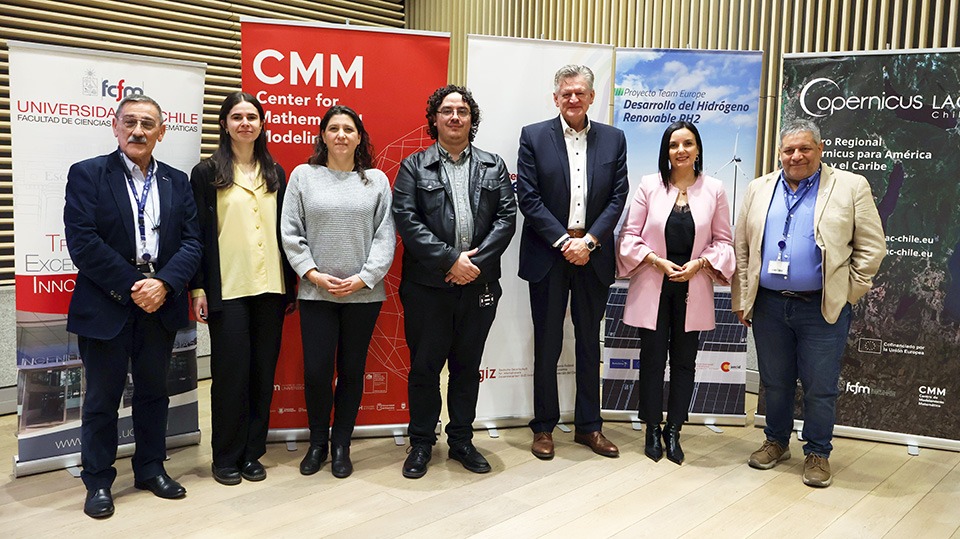
The Center for Mathematical Modeling (CMM) of the Faculty of Physical and Mathematical Sciences at the University of Chile, together with the German agency GIZ, officially presented the new Wetlands and Peatlands Monitoring System in the Magallanes Region and Chilean Antarctica, developed within the context of the ‘Team Europe for the Development of Renewable Hydrogen in Chile‘ (RH2) project.
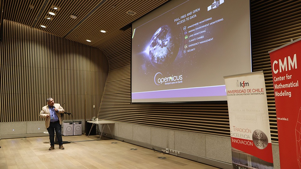
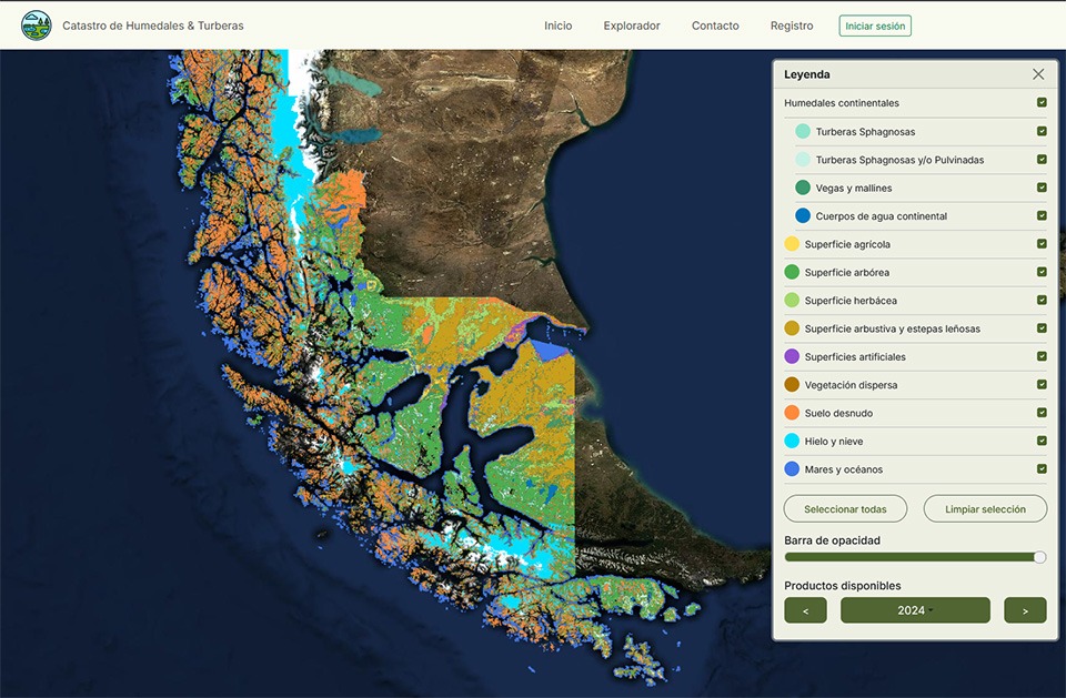
To carry out the work, images from Copernicus, the European Union’s Earth observation program, were used. These were collected by the Sentinel satellite constellation and supplemented with field campaigns that measured variables such as dominant species, vegetation cover, and water content.
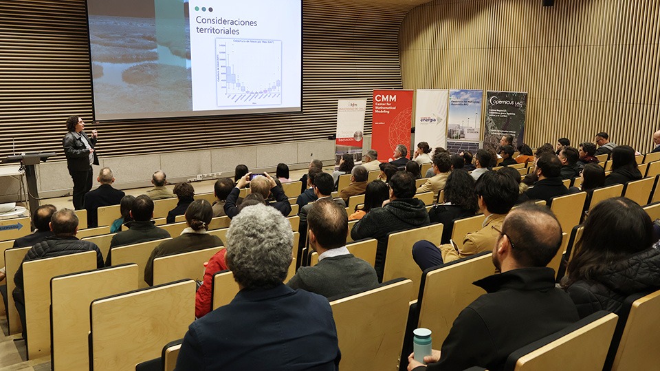
The result is a detailed map of wetlands and peatlands, and a georeferenced catalog, now available for use by authorities, researchers, and project developers. This information will facilitate both the planning of renewable hydrogen development and the environmental protection of a territory with high ecological and strategic value.
In this regard, CMM principal investigator and University of Chile academic Jaime Ortega noted that “this type of project is especially significant for us, as it allows us to contribute in a concrete way to the generation of more sustainable economic activities and the monitoring of key indicators related to climate change. We especially highlight the collaborative work carried out, which has combined the use of geospatial information with artificial intelligence, together with the valuable fieldwork developed with GeoZone. All of this allowed us to develop a high-impact and interesting product, such as the map we are presenting to the community.”
Por otra parte, Francisco García, jefe de Cooperación de la Unión Europea en Chile, afirmó que “nos parece clave el aporte que Copernicus puede hacer para proveer información que permita el desarrollo sostenible de la industria del RH2 y manejar adecuadamente sus posibles impactos en la región de Magallanes. Los alcances de los servicios de Copernicus pueden apoyar también la toma de mejores decisiones a la hora de diseñar los proyectos, minimizar riesgos y potenciar beneficios. Finalmente, este trabajo permite unir dos iniciativas clave de la Agenda de Inversiones Global Gateway, actualmente en marcha en Chile: la Iniciativa Team Europe para el desarrollo del RH2 y el Centro Regional Copernicus LAC Chile“.
On the other hand, Francisco García, head of Cooperation for the European Union in Chile, stated that “we believe Copernicus can make a key contribution by providing information that will enable the sustainable development of the RH2 industry and properly manage its potential impacts in the Magallanes region. The scope of Copernicus services can also support better decision-making when designing projects, minimizing risks, and maximizing benefits. Finally, this work brings together two key initiatives of the Global Gateway Investment Agenda, currently underway in Chile: the Team Europe Initiative for RH2 development and the LAC Chile Regional Center.”
Product of high interest for the Magallanes Region
Peatlands, present throughout the Magallanes region, perform vital functions such as carbon storage, water regulation, and biodiversity conservation. This tool represents a key step toward reconciling sustainable development with the protection of these unique ecosystems.
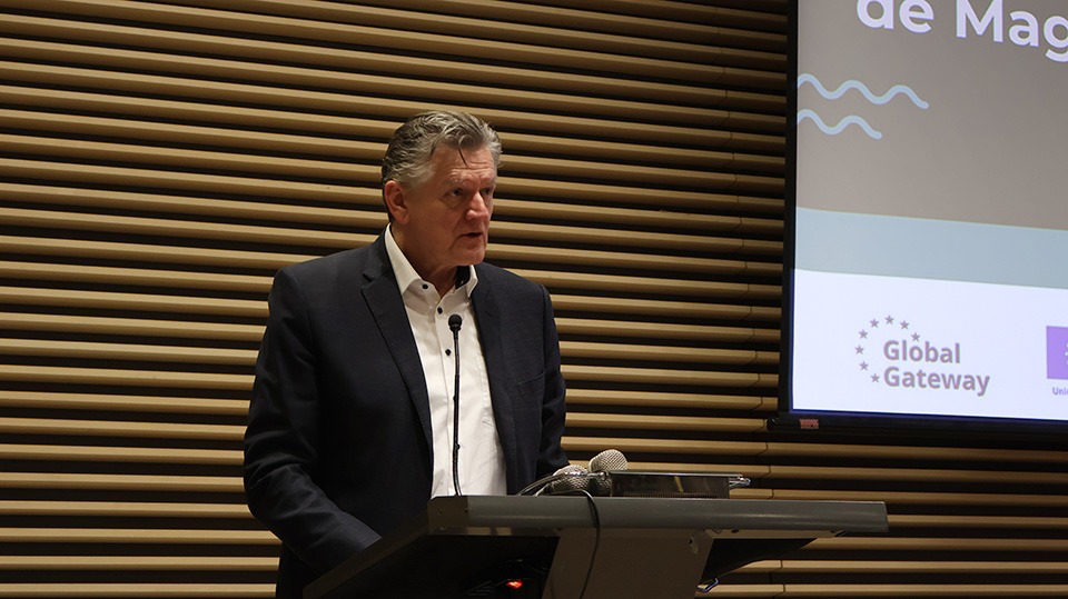
George Cristodorescu, director of the GIZ Southern Cone Energy Cluster, said that “the monitoring system presented today reflects how international cooperation and science can promote sustainable development, implementing innovative tools to protect key ecosystems such as the wetlands and peatlands of Magallanes. Renewable hydrogen planning must be balanced with environmental conservation, and this initiative contributes to that goal.”
The system is now available to public institutions, communities, and developers at https://turberas.cmm.uchile.cl/, marking a milestone in the use of open data and monitoring tools for conservation and sustainable development in southern Chile.
By Copernicus LAC Chile Communications